A man points a camera down at a wide sandbar in the middle of a tropical river. He begins to count. “One-one-thousand, two-one-thousand.” At three, he starts to run. Twenty yards down the sandbar, a solid head of steam built up, he hurls the camera into the air. It hovers above the sand momentarily, then arcs over the water and into the sky.
From its vantage point 200 feet up, the camera captures the sepia waters of the river curving around a bend, bright blue and nearly cloudless skies, and dense forest as far as the eye can see. The camera suddenly banks right sharply and heads straight for the canopy. Leaves and branches whip across the lens as it divebombs into a tree. When it comes to an abrupt stop, the blinking red recording light reflects off the leaves and back into the lens.
The man behind the camera is Jason Scullion, assistant professor of environmental studies at McDaniel College and the board president of Wild Forests and Fauna (WFF). His camera flew (however briefly) because it is attached to a six-foot-long drone, or unmanned aerial vehicle (UAV). Scullion and his drone were on a three-week expedition on the remote Las Piedras River in Madre de Dios, a region roughly the size of South Carolina in southeastern Peru. They were there for the Big Tree Project (BTP), an effort by WFF to map and monitor Amazonian forest with an eye to conservation.
It’s a complex project that links new technology, old-growth forest conservation, illegal logging, and the global impact of climate change.

Old growth, old challenges
The 72-million-hectare Peruvian Amazon covers roughly 60 percent of the country, the fourth largest rainforest coverage in the world. Of that, about 80 percent is classified as primary, or old-growth, forest, the most ecologically valuable forest on the planet. According to the World Resources Institute, Peru loses nearly 250,000 hectares (about 1,000 square miles or about the area of El Paso, Texas) of forest each year to legal and illegal logging, mining, agricultural clearing, and other causes. Though that’s a relatively modest deforestation rate compared to Indonesia (840,000 hectares annually) or Brazil (460,000 hectares), it is still alarming to conservationists who want to protect the Peruvian Amazon’s high concentration of old growth.1
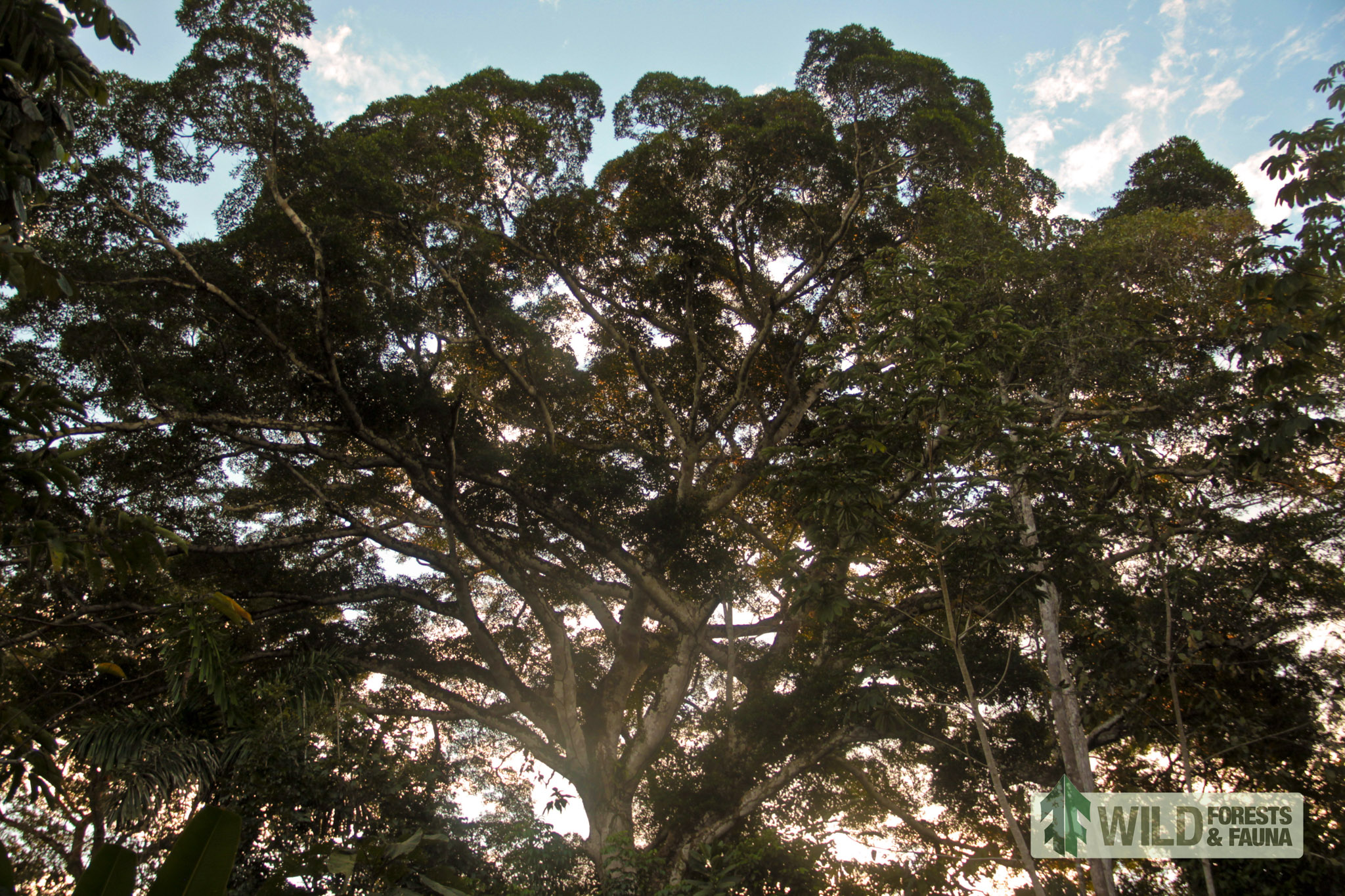
“Big trees are valuable — particularly from the perspective of biomass and carbon, nutrient and water cycling, fruit and seed production, primary productivity — as regulators of light and temperature regimes in the understory, and even as cultural symbols,” explains Chris Kirkby, co-director of Fauna Forever, one of WFF’s partners in Peru. “Get rid of big trees and the immediate environment will likely change a lot. Get rid of enough of them and the whole forest — plants, wildlife, and people — will likely change too.”
Old-growth trees in Peru fall victim to agricultural clearing and to the mining of gold, copper, and other ores, which leaves a treeless landcape. They are also the targets of illegal loggers who selectively cut trees in protected areas. Mahogany and cedar are the largest trees in the forest and the primary targets. Wood from a single old-growth mahogany trunk is worth over $11,000 on the US market. Cedars can fetch over $9,000. A 2006 World Bank report estimates that Peru’s illegal logging industry generates between $44.5 and $72 million annually. WFF’s Big Tree Project is an attempt to combat a small piece of that very large illegal logging problem.
“We can all flip out about Amazonian deforestation and how concerning it is, but it’s impossible to do anything about it unless you shrink the problem and pick a place,” Scullion says. Their place is the Madre de Dios.
WFF’s piece of the problem
Launched in 2012, WFF is a scrappy nonprofit in Seattle with one full-time employee. At a glance its mission is both lofty and vague. “WFF supports and develops place-based organizations, people, and projects that share its vision of wild forests and species conservation,” says Doug Sorin, WFF’s executive director. “We want to conserve important forests and protect wildlife using new technologies and techniques to solve problems and get people excited about the issues.”
WFF’s primary focus right now is the Big Tree Project. Its original goal was to conserve an 11,000-hectare plot of ecologically valuable Amazonian forest. It worked with partner organizations — Amazon Research and Conservation Center (ARCC) and Fauna Forever — to secure a conservation concession that would protect the land, which is owned by a local man, Jose “Pepe” Moscoso. According to Sorin, the group spent over a year negotiating the terms of the concession with Moscoso, but early this summer, at the eleventh hour, an outside party came in with a better offer (and cash in hand) and the 11,000 hectares came off the table.
It illustrates just how difficult achieving WFF’s conservation goals will be. “This project has been, by necessity, pretty fluid,” says Sorin.
The failed land deal was a big blow to the BTP, but WFF and its partners quickly switched to plan B: purchasing a conservation concession on 5,600 hectares of land about 30 minutes downriver from the bigger stand. It has comparable conservation value and is similarly at risk from illegal logging. The land is currently owned by a Peruvian NGO. (WFF asked that it not be named while negotiations are ongoing.) Sitting that much closer to the small community of Lucerna than the 11,000 hectares, the plan B land is also at greater risk of deforestation from development. The NGO is interested in protecting the land it owns, but lacks the resources. If it’s able to conserve the land, ARCC and Fauna Forever plan to build a research and ecotourism center.
Both plots of land are part of the 31.4-million-hectare Tropical Andes Biodiversity Hotspot, the most biodiverse habitat on the planet. It is home to 1,400 butterfly species; 45,000 plant species; threatened and endangered animals such as the giant river otter, spider monkey, black caiman, and harpy eagle; and, perhaps most critical for BTP, a high concentration of old-growth trees.
That quality makes it a target for loggers hunting for big trees and poachers hunting for animals. Loggers sneak into the concession and cut down the biggest trees they can find. All of the mahogany and cedar is likely gone from the 5,600 hectares, the result of years of illicit logging. There is a second tier of smaller but still valuable trees remaining in the forest, which loggers now seek out, but WFF doesn’t have an assay of where and how many. That’s where the drone comes in.
Using the drone drastically reduces the time and cost of mapping and monitoring. The alternatives are on-the-ground tree-finding missions, which are wildly time-consuming and expensive; fly-overs in airplanes or helicopters, which cost a lot and aren’t necessarily practical in remote regions like Madre de Dios; and high-resolution satellite imagery, which comes at a dear price. This has led to the widespread adoption of drones in the wildlife conservation world. But save for a few academics, there are far fewer forest conservationists using drones.

A new tool for conservation
Lian Pin Koh is founding director of Conservation Drones, an organization working to raise awareness about drones’ huge potential benefit for conservationists, establish drone best practices, and help connect conservationists to drone manufacturers. “We can now use a conservation drone to easily map an area of 200 to 300 hectares of a landscape within 30 minutes and at minimal operating cost,” he says. “I believe drones will be as much a part of conservation as a pair of binoculars or any conventional equipment in the toolkit of biologists.”
Conservation Drones technical director Brenden Duffy built WFF’s drone. The $4,000 plane is six feet long, has a six-foot wingspan, and is equipped with a high-resolution camera that allows them to create detailed maps of the forests.
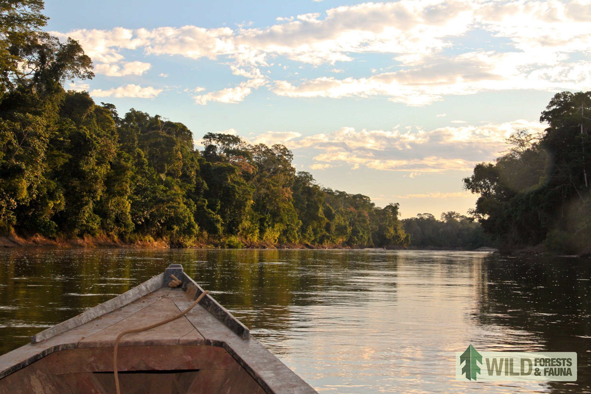
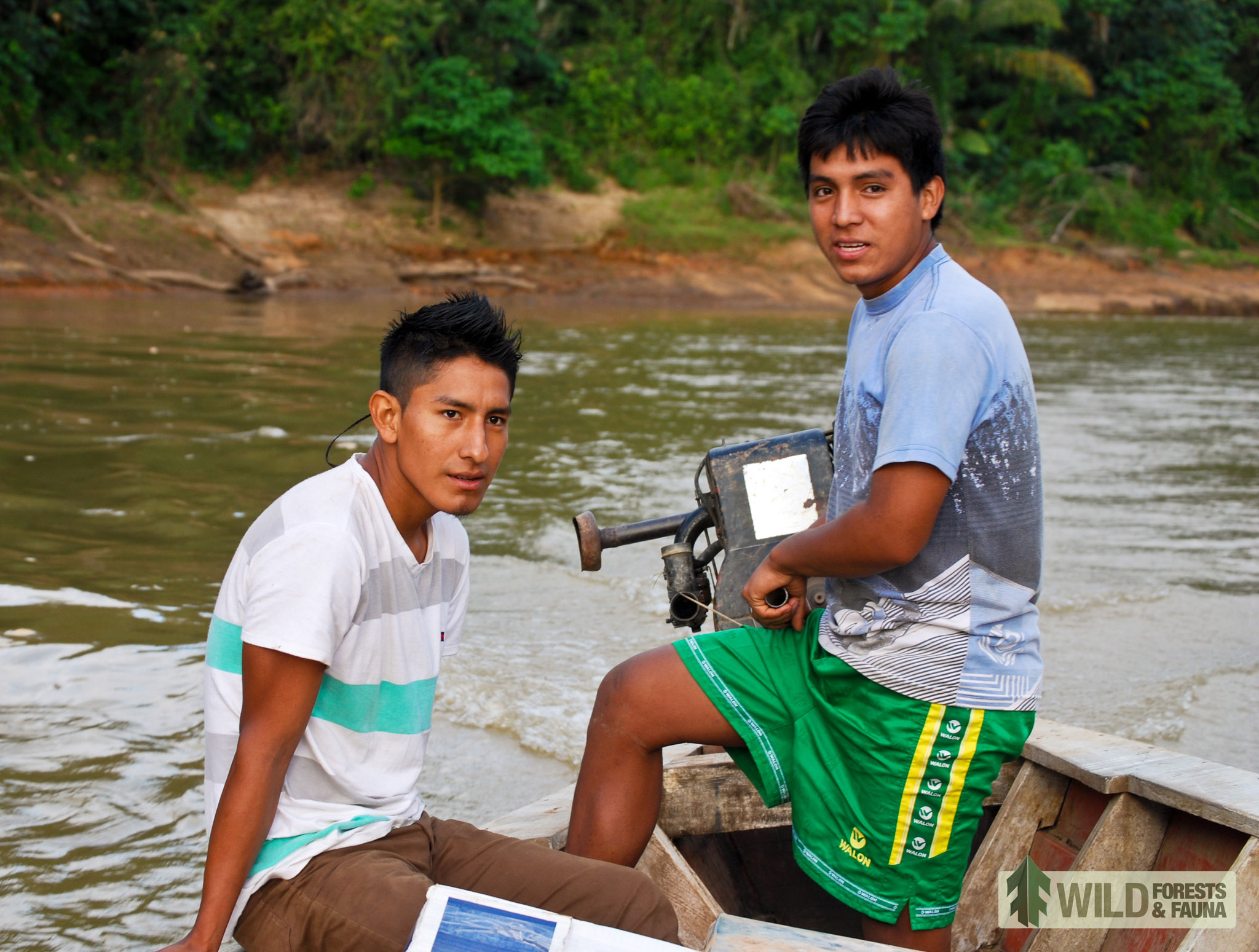
In August, Scullion and two assistants from the University of Washington, master’s student Samantha Zwicker and undergrad Sophia Winkler, traveled to Las Piedras for BTP’s first attempt at drone mapping. They spent 10 days flying drone missions from sandbars on the Las Piedras River. With its wide wingspan, the drone was too large to launch from basecamp, so each day a local boat driver took them 30 minutes upriver in a narrow wooden pequi-pequi boat from their basecamp at the research center.
“It was quite the adventure,” Scullion says. “There was lots of trial and error figuring out the camera, flying, and especially landing. The drone corkscrews down to land, so on multiple occasions we couldn’t get it on the beach.”
Those crash landings sent Scullion and his team chasing deep into the jungle to recover their plane. On one occasion, a small but essential antenna broke off the drone. Finding the six-inch piece amid 500 acres of forest seemed impossible, but one crew member, Alejandro, was once a rumbero — the trackers who would search out prized mahogany and cedar trees in the jungle. He retraced the crew’s steps by looking at bent blades of grass and other nearly invisible clues and found the antenna.
Other crashes took their toll on the plane’s structural integrity. By week’s end, a mop handle had replaced the carbon fiber tail and the wing was stitched together with pieces of stick.
More problematic than the broken plane pieces, their high-definition camera didn’t work the way they expected — Scullion says it was not programmed properly — and they weren’t able to complete the mapping mission. And though not completing their primary mission might seem like a failure, Scullion and his team are optimistic about the things they did manage to accomplish.
This starts with creating a methodology for using drones in forest conservation. Scullion explains: “We came up with a scientific protocol for mapping the location of large trees. We’ll use those large maps to better inform our forest monitoring. I was able to figure out exactly what processes I needed to put together a high-resolution map set, then come back at a later date to run the same flight path and build another map, then compare to detect the loss of trees.”
In establishing the drone protocol, Scullion realized that they will not be able to map the entire 5,600-hectare plot: mapping would take three to four months. Even if the team had the time and resources to spend, there are not enough viable launch sites to work from. “The drone is a surgical tool that can be used in particular areas for particular needs,” Scullion says.
But they found that they don’t need to map the whole forest. There are relatively small areas near roads and the river where the bulk of the selective logging takes place. By regularly monitoring those areas with the drone, WFF can inform and refine the efforts of the security guards that ARCC will hire for the ecotourism concession.
Just as important as the science, WFF’s time in Madre de Dios helped them build relationships. Because they worked with local student groups staying at the research center, guides and boat drivers, and others, Scullion and his team engaged with a lot of local residents. “People were really surprised that we were so open to teaching them and sharing with them what we were doing,” Scullion says. “These relationships are one of the most important pieces of our conservation effort.”
Though its scientific drone is worlds apart from the deadly tool of modern warfare, WFF hopes it will still serve as a deterrent for would-be illegal loggers. Scullion likens it to the 18th-century panopticon theory of prison design, in which prisoners lived in a circular block of cells and guards were stationed in a tower in the center. Every prisoner wasn’t constantly observed, but a single guard could easily observe any prisoner at any time.
Scullion says that “these local communities now know we have technology where we can detect the loss of large trees on the property we’re working in, so they’re much less likely to engage in illegal activities. The fact that the drone is there and they could get busted is effective.”

Future flights
So far, this is just theory. But WFF plans to return for years to come and will be able to test it in practice. Scullion and his team are making plans to return to Madre de Dios next summer for the next stage of mapping. He says he hopes to have a lot more drone-flying practice under his belt by then to help keep the plane on mapping flights and out of the canopy.
In the meantime, WFF wants to capitalize on the media it gathered in Peru to raise awareness of deforestation and old-growth loss. “It doesn’t matter who you are, you’re probably curious about the thing that flies around taking pictures,” says WFF’s Sorin. “The imagery you can get from it can be mind-boggling.”
WFF is hoping that drone-captured pictures and video help elevate the issue of deforestation and old-growth loss among younger audiences, especially in the United States. “We’re still in the process of exploring what we can do, but it’s about getting people excited about why big trees are important, getting this to be part of the national conversation,” Sorin says.
WFF eventually wants to put its drones to work in American forests. But for now it’s content to keep picking away at its piece of the problem by securing a conservation concession and flying deep in the Madre de Dios.
Photos courtesy WFF. Drone flight and boat captains by Sam Zwicker. Big tree by Jason Scullion. Boat on Las Piedras by Sophia Winkler.
-
It may be tricky to visualize hectares. One thousand hectares is about 40 square miles, or only somewhat larger than the island of Manhattan. There are 2.5 acres to a hectare. ↩
Josh Cohen is a freelance writer and editor of The Bicycle Story. He contributes regularly to Crosscut and his work has appeared in Pacific Standard magazine, Grist, and PubliCola.
